
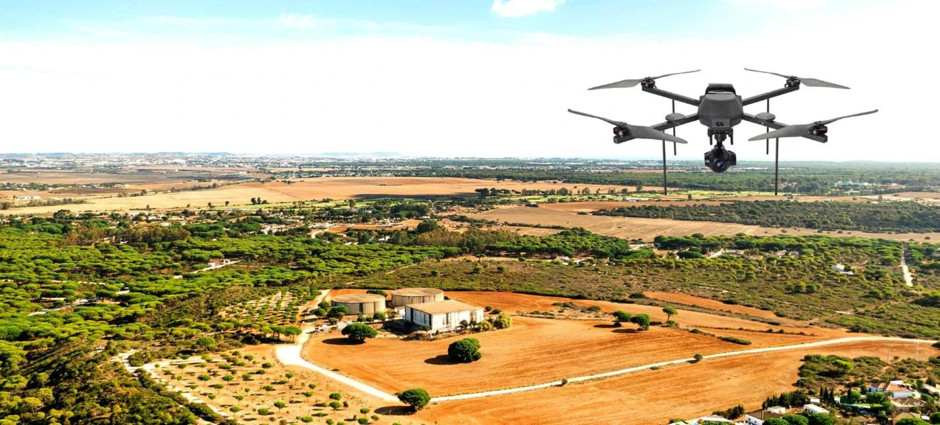
Accurate land measurement is the foundation of successful infrastructure development, construction planning, and environmental management. Traditional surveying methods, while reliable, often involve time-consuming fieldwork and limited data coverage. With the advancement of aerial technology, drone surveying has emerged as a powerful solution that significantly enhances precision and efficiency in modern drone land surveying projects.
The Evolution of Land Surveying
Land surveying has traditionally relied on manual instruments and ground-based measurements. While effective, these methods can be labor-intensive and challenging in difficult terrain. The introduction of drones has transformed the surveying landscape by enabling rapid data capture from above, covering large areas with exceptional detail.
Through high-resolution cameras and advanced sensors, drone surveying delivers comprehensive spatial data that supports accurate mapping and analysis.
What Is Drone Land Surveying?
Drone land surveying involves the use of unmanned aerial vehicles to collect geospatial data for mapping, measurement, and analysis. Drones follow pre-planned flight paths, capturing overlapping images that are processed into accurate maps and 3D models. This approach minimizes human error and ensures consistent data collection.
How Drone Surveying Enhances Accuracy
High-Resolution Data Capture
One of the key advantages of drone surveying is the ability to capture high-resolution images from controlled altitudes. These images provide fine details that ground surveys may miss, allowing surveyors to identify subtle terrain features and boundaries with greater accuracy.
Consistent and Repeatable Flights
Automated flight planning ensures drones follow precise and repeatable paths. This consistency is crucial for accurate drone land surveying, especially when monitoring changes over time or conducting periodic surveys.
Advanced Photogrammetry Processing
Drone-captured images are processed using photogrammetry techniques that reconstruct the surveyed area in three dimensions. By analyzing overlapping images, software generates accurate point clouds, elevation models, and orthomosaic maps that support precise measurements.
Reduced Human Error and Field Risks
Manual surveys are susceptible to errors caused by fatigue, environmental conditions, or limited access. Drone surveying minimizes on-site human involvement, reducing the risk of mistakes and improving overall data reliability. This is particularly valuable in hazardous or hard-to-reach areas.
Improved Ground Control and Validation
Modern drone land surveying integrates ground control points (GCPs) and RTK/PPK systems to enhance positional accuracy. These reference points help align aerial data with real-world coordinates, ensuring survey-grade precision suitable for engineering and legal applications.
Speed and Efficiency Without Compromising Accuracy
Drones can survey large areas in a fraction of the time required by traditional methods. Faster data collection allows for more frequent surveys, better monitoring, and timely decision-making—without sacrificing accuracy.
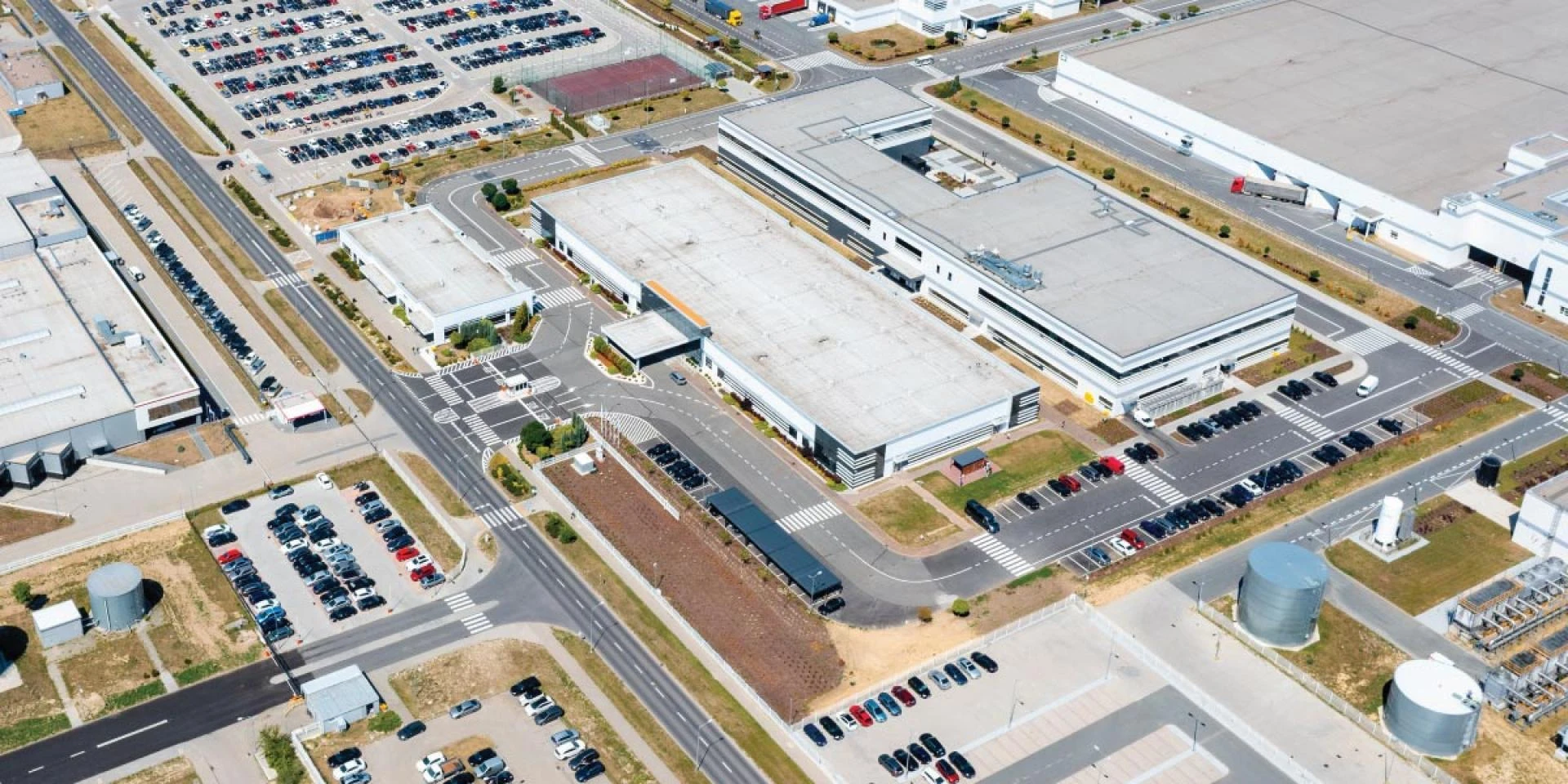
Applications Across Multiple Industries
Construction and Infrastructure
Accurate land data is essential for planning, grading, and progress tracking. Drone surveying provides detailed site models that help engineers and project managers reduce rework and costly errors.
Agriculture and Land Management
In agriculture, drone land surveying helps assess land contours, drainage patterns, and field boundaries. This data supports better planning and efficient resource utilization.
Mining and Quarrying
Drones enable precise volumetric analysis and terrain mapping. Accurate data improves operational planning and compliance while enhancing safety.
Urban Planning and Environmental Studies
City planners and environmental experts rely on accurate land surveys to analyze land use, infrastructure expansion, and environmental impact. Drones offer a scalable and precise solution for large-area surveys.
Data Accuracy Through Continuous Monitoring
One of the major benefits of drone surveying is the ability to perform repeated surveys over time. Consistent datasets allow for accurate comparison, helping stakeholders track changes in terrain, structures, or land use with confidence.
Cost-Effective Precision
While high accuracy often comes with high costs, drone land surveying offers precision at a lower overall expense. Reduced manpower, faster turnaround, and fewer re-surveys make drone-based methods a cost-effective alternative to traditional surveying.
The Future of Accurate Land Surveying
As drone technology continues to evolve, accuracy levels will improve even further. Artificial intelligence, cloud processing, and automation are enhancing data quality and analysis capabilities. These advancements ensure that drone surveying remains at the forefront of modern drone land surveying solutions.
Conclusion
Accuracy is critical in land surveying, and drones have redefined what is possible in this field. By combining high-resolution data capture, advanced processing, and automated workflows, drone surveying significantly improves accuracy in drone land surveying projects. Organizations seeking reliable and innovative aerial surveying solutions can benefit from the expertise and technological advancements offered by industry leaders such as Asteria Aerospace, which continue to shape the future of precision surveying.