

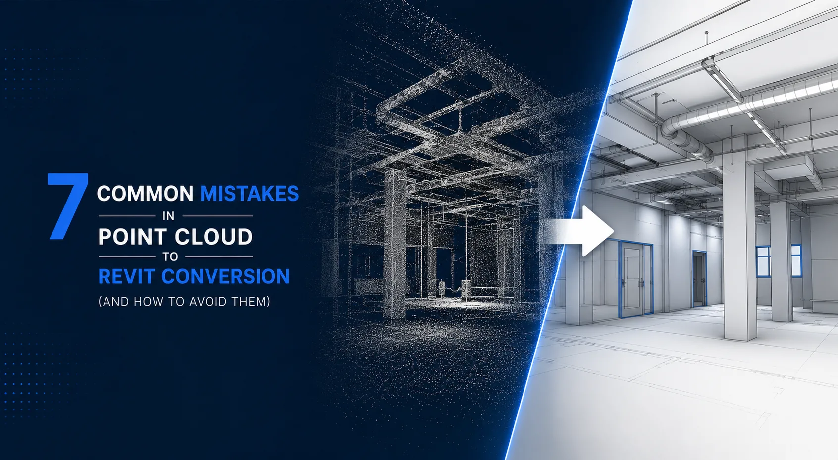
Converting point cloud data to Revit seems like a simple process - just scan the building, import the data, and model the elements. But in reality, each step of this workflow has its own set of challenges that even experienced BIM teams have to deal with. And usually, they only figure out how to handle these issues after running into them head-on.
These mistakes aren't just hypothetical - they happen all the time on real projects. You see it when renovation jobs drag on forever because the scan data was no good, or when coordination packages fall apart because the coordinate system was off. And then there are the client handovers that don't quite meet the brief, simply because nobody bothered to confirm the LOD requirements from the start.
Every error is accompanied by a clear and practical step to avoid it in the future.
Mistake 1 : Accepting Low-Quality or Incomplete Scan Data without Review
The biggest error often occurs even before the modeling process starts, and surprisingly, it's not related to the modeling itself. Instead, it happens when you accept a scan delivery without first verifying if the data is actually usable.
So what happens when things go wrong? Let's say a surveying company delivers some scan data to a BIM team, and they start creating a model from it. But then, three days into the project, they stumble upon a few major issues.
For instance, they find a huge 4-meter gap in the coverage on the east side of the building, which is a big problem. They also discover a plant room that's heavily shadowed, making it hard to get accurate data. And to make matters worse, they find that the point density on two of the floors is so low that they can't even reliably determine the thickness of the walls. The trouble is, the surveyor who did the scan has already moved on to their next job, so they're not around to help fix these problems.
So, why does this happen? Well, the thing is, checking the quality of scans isn't something that's always included in the plans for surveys. And because of that, teams often just assume that the data they're getting is complete, without really checking to make sure.
How to prevent it:
- Before any modeling begins, open the RCP file and systematically walk through every area of the project scope using Revit's section cut and 3D navigation tools.
- Check scan density in critical areas: plant rooms, ceiling plenums, structural connections.
- Create a simple scan coverage map: mark areas with good coverage, adequate coverage, and gaps.
- Define a formal scan acceptance criteria in your project brief — minimum point density, maximum gap size, and required scan overlap percentage.
If gaps exist, raise them with the surveying team within 48 hours of delivery. Re-scanning specific areas is a minor cost compared to modeling from guessed geometry.
Mistake 2: Not Establishing Shared Coordinates Before Modeling Starts
What goes wrong: Two BIM modelers — one handling architectural, one handling MEP — independently link the same RCP file into their separate Revit models. They each pick a convenient insertion point. When the two models are federated for clash detection, they are offset by several meters and rotated 15 degrees relative to each other. Every apparent clash is a false clash.
So, what's the reason behind this issue? It all comes down to Revit's multiple coordinate options when you're linking a point cloud. You've got the "Auto - Center to Center" option, which is pretty convenient, but it doesn't actually use survey-accurate coordinates. The problem arises when different team members make different choices, and that's when things can get confusing.
How to prevent it:
- Establish a single, documented shared coordinate origin for the project before any modeling begins.
- Use the same coordinate system in every discipline model on the project.
- Align the RCP file to this shared origin in one model (typically the architectural model), then export the Revit coordinate settings for all other team members to use.
- Document the shared coordinates in the BIM Execution Plan so there is a single reference everyone follows.
This is a five-minute setup task that prevents hours of coordination headaches.
Mistake 3: Modeling to the Wrong Level of Development
What goes wrong: A client commissions a point cloud to BIM model for a commercial renovation. The BIM team delivers a detailed LOD 400 model because they defaulted to their highest standard of practice. The model took twice as long to produce as necessary. The client needed LOD 300 for permit documentation and LOD 200 is what they could afford. Alternatively: the client needed LOD 350 for clash detection, and the team delivered LOD 200.
So, why does this happen? Well, it's because the Level of Detail, or LOD, isn't really talked about when a project first starts. As a result, teams often end up doing too much or too little. They might over-deliver, which is a waste of budget, or under-deliver, which means the model they create can't actually do what it's supposed to do.
How to prevent it:
- Confirm the required LOD per discipline at the project kickoff meeting — do not assume.
- Ask specifically what the model will be used for: permit documents, clash detection, quantity takeoff, facilities management?
- Document the agreed LOD in a written brief or BIM Execution Plan before modeling begins.
- Include LOD in the scope of work for any outsourced point cloud modeling services.
Mistake 4: Ignoring Scan Noise and Registration Errors
When things go wrong, it's often because a team rushes into modeling without properly cleaning up the point cloud data from a scan. They might try to create a Revit model straight from the raw, unregistered scan, and that's when the problems start.
For instance, the walls in the model might end up being 15-20 mm thicker than they really are. The columns could be slightly off from where they're actually supposed to be, and the pipes might look like they're floating in mid-air. This happens because the scan picked up a reflection from a glass surface, which can be really misleading. It's like the scan saw a "ghost" image, and that got incorporated into the model.
Why it happens: Cleaning and registering scan data in ReCap Pro takes time. Under schedule pressure, teams sometimes skip this step and model from whatever the scanner delivered.
How to prevent it:
- Always process raw scan data through ReCap Pro before any Revit modeling starts.
- Remove obvious noise sources: vegetation visible through open windows, scaffolding that has since been removed, reflections from glazed surfaces and mirrors.
- Check registration accuracy between overlapping scan stations — in ReCap Pro, the registration report shows residual error values that indicate how precisely the stations aligned.
- For LOD 300 or above, registration accuracy should be within 5–10 mm.
A scan that looks visually clean in a 3D view can still contain registration errors that only show up as geometric inconsistencies when you try to model against it. Check the numbers, not just the visuals.
To get your scan data into Revit, you need to follow some steps. The Hitech BIM Services guide has all the details on how to convert point cloud data to a 3D Revit model. It takes you through the whole process, from the scan file to a finished model.
This guide is really helpful because it shows you exactly how to prepare your scan data and import it into Revit correctly. By following these steps, you can make sure your model turns out right. The guide covers everything, starting with the scan file and ending with a complete model, so you don't have to worry about missing any important parts.
Mistake 5: Modeling Without Regular Comparison to the Point Cloud
So what can go wrong when working with Revit models and point clouds? Let's say a modeler spends several days building an entire floor of a Revit model without regularly checking it against the point cloud. This can lead to big problems down the line. When the model is finally complete, a section cut comparison might reveal that several walls are actually 50 mm off from their scanned positions.
But why does this happen? It often occurs because the modeler referenced a poorly chosen section view, which introduced a cumulative offset that wasn't caught until it was too late. This kind of mistake can be really frustrating, especially after putting in so much time and effort. It just goes to show how important it is to regularly check your work against the point cloud to avoid these kinds of errors.
Why it happens: Modeling momentum. Once a workflow is established, stopping to compare seems like it slows things down.
How to prevent it:
- Build milestone checks into every project: compare the model to the point cloud at 30%, 60%, and 90% of modeling completion for each discipline.
- Use Revit's point cloud clipping and colorize tools to overlay model elements on scan data in section and plan views.
- Set a personal standard: never place more than 10 elements without doing at least one visual sanity check against the scan.
Catching a 50 mm offset at 30% completion is a 30-minute correction. Catching it at 95% completion is a half-day rebuild.
Mistake 6: Selecting the Wrong File Format for Project Requirements
So what happens is that a surveyor sends over scan data in PTS files. Then the BIM team tries to connect them straight to Revit, but it doesn't work. They waste two whole days trying out different ways to import the files. Finally, they figure out that the data needs to be processed through ReCap Pro first. This is a step that should have been done from the very beginning, but it wasn't. It's a pretty frustrating situation, especially when you think about all the time that was wasted.
The BIM team could have been working on other things, but instead they were stuck trying to get the scan data to work. If only they had known that they needed to use ReCap Pro from the start, things would have been a lot easier.
Why it happens: Not everyone on the BIM team knows that Revit only accepts RCS and RCP natively.
How to prevent it:
- In your scan delivery brief, specify the required output format: RCP/RCS preferred; E57 as an acceptable alternative.
- If you receive PTS, LAS, or XYZ data, process it through ReCap Pro before any Revit work begins.
- Include format verification in your project kickoff checklist.
You can easily avoid problems with file formats by including a simple specification in the survey brief, it's just one line that can make all the difference.
Mistake 7: Skipping a Quality Assurance Check before Delivery
What goes wrong: A completed point cloud to Revit model is delivered to the client. The client's BIM manager opens it, runs a quick check, and finds that three room boundaries are incorrect, two structural columns are missing, and the MEP model has never been coordinated against the architectural model. The delivery is rejected and requires rework.
Why it happens: QA on scan-to-BIM models is treated as optional rather than mandatory. Teams under deadline pressure skip the formal review.
How to prevent it:
- Establish a QA checklist specific to point cloud to BIM projects and complete it before every delivery.
- Standard checks should include: model-to-scan comparison (visual and dimensional), clash detection run, missing element audit against the scan, parameter population verification, IFC export test if required.
- Have a team member who did not do the original modeling perform the QA check — fresh eyes catch more errors.
- Include a QA sign-off in your delivery process.
A formal QA step adds 5–10% to project time. A rework cycle after rejected delivery adds 30–50%.
Step-by-Step: Pre-Modeling Checklist for Point Cloud to Revit Projects
Before writing the first Revit family placement, verify all of the following:
- The project scope has been thoroughly reviewed to ensure there are no significant gaps in scan coverage.
- Shared coordinates established and documented.
- LOD confirmed per discipline in writing.
- Point cloud cleaned and registered in ReCap Pro.
- The file format has been checked and confirmed to be correct, with the RCP linked properly into Revit.
- Revit template set up with correct families and shared parameters for target LOD.
- Discipline worksets created and team member assignments confirmed.
- Milestone check schedule agreed with project manager
FAQs
Q: What is the most common cause of a point cloud to Revit model being rejected by a client?
Coordinate system errors and LOD mismatches are the two most common causes of delivery rejection. Both are entirely preventable with clear upfront briefing.
Q: How do I know if my point cloud registration is accurate enough for LOD 300 modeling?
In ReCap Pro, check the registration report for each scan cluster. Residual errors below 5 mm are good for LOD 300. Errors above 10 mm warrant investigation and possibly re-registration.
Q: Can I model from a non-colorized point cloud?
Yes, but it is significantly harder. Color information in the scan helps modelers visually distinguish element boundaries, surface finishes, and system types. If your scan does not include color, request it in future survey briefs.
Q: How do I handle areas of the scan that are completely shadowed?
Document the shadow area in the model with a comment or annotation. Flag it in your delivery notes. Never model geometry you cannot verify from the scan.
Q: Does every project need a BIM Execution Plan for scan-to-BIM work?
On large projects, a formal BEP is essential. On smaller projects, a one-page project brief that confirms coordinates, LOD, file format, and delivery requirements provides the same protection against misalignment.
Conclusion
These seven mistakes all have one thing in common: they happen when people make assumptions at the beginning of a project and never check if they're true. For example, someone might accept a scan without checking if it's any good. Or they might use a coordinate system without making sure it's the right one. Sometimes, the level of detail, or LOD, is never clearly agreed upon. And often, a crucial quality assurance step is skipped altogether.
Point cloud to Revit conversion is a technical workflow, but the most preventable failures are organizational ones. Clear briefs, documented decisions, and milestone checks are what separate smooth scan-to-BIM projects from expensive rework cycles.
For the complete technical methodology behind point cloud to 3D Revit model conversion — including the software tools and process steps that experienced BIM teams use — the Hitech BIM Services team covers it in detail at hitechbimservices.com.