If you step into an old office block or a tired warehouse, you can almost feel the potential in the air. High ceilings, sturdy columns, expansive open spaces — they practically need some renovation. But turning that potential into something usable is not simple. Walls do not line up where the old drawings say they should, ductwork snakes through spaces in unpredictable ways, and the floor might not even be level. For surveyors tasked with adaptive reuse, this is where the real challenge begins.
Over the past few years, more and more surveyors have started leaning on point cloud to 3D model workflows to make sense of these tricky spaces. And honestly, it’s changing the way adaptive reuse projects are planned.
What’s the Real Pain of Old Buildings?
Let’s be honest: measuring an old building by hand is exhausting. Tape measures, laser distance tools, sketch pads — they all have their limits. One mis-measured wall can throw off an entire renovation plan. And in large commercial complexes, even a small error multiplies.
I remember visiting a shopping mall that was trying to convert part of its upper floor into office space. The original floor plans showed an open area, but the reality was a maze of support beams, ducts, and electrical risers. Without accurate data, the architects were essentially designing blindfolded. That’s a nightmare scenario for surveyors, contractors, and facility managers alike.
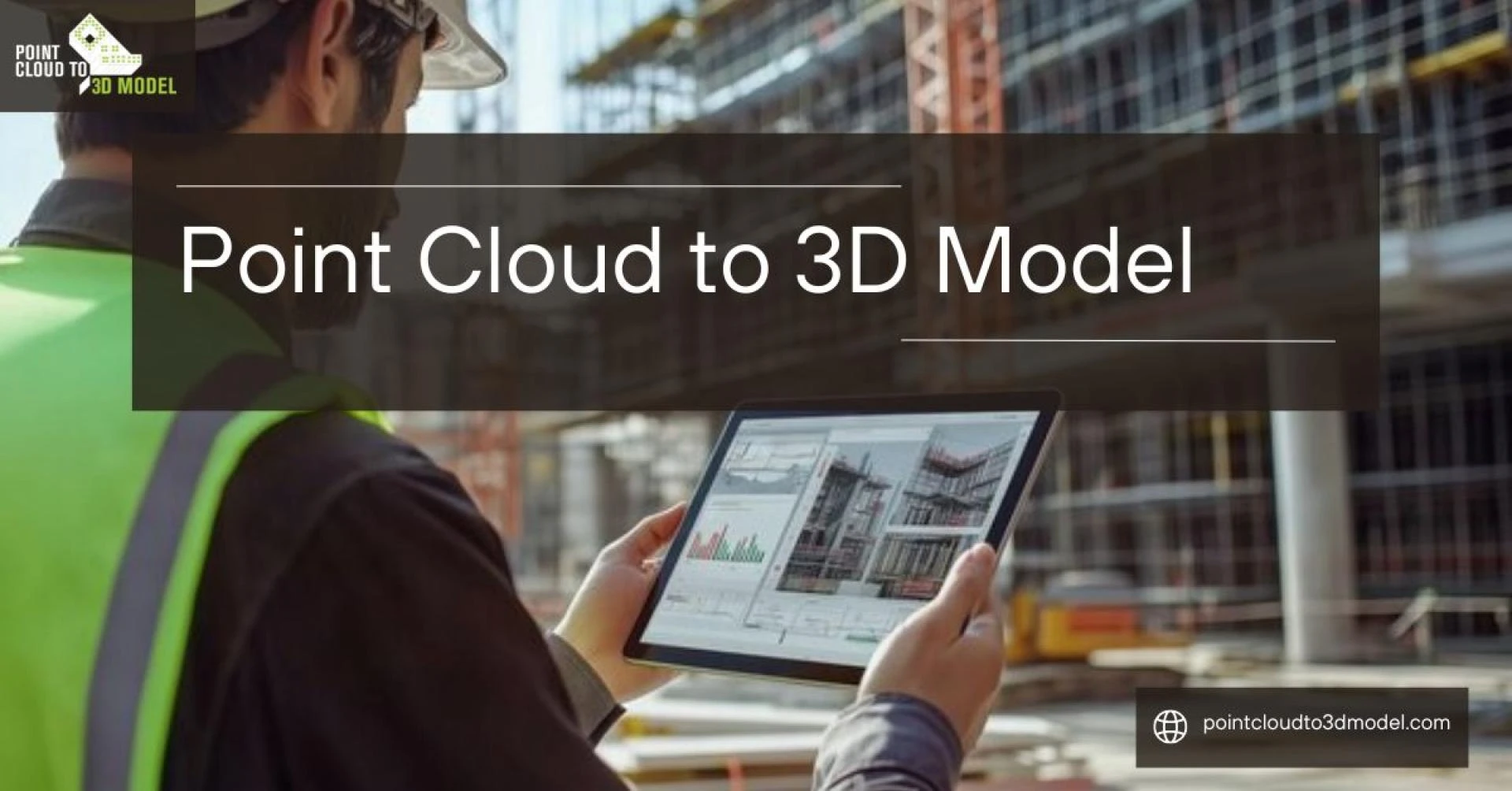
Enter Point Cloud to 3D Models
Here’s the thing: you can scan a building in hours with a 3D laser scanner, capturing millions of points. Every wall, ceiling, duct, beam, even small floor variations — it all gets recorded in a point cloud. It’s a staggering amount of data, but raw point clouds are messy. Looking at them without some translation is like staring at static on a TV screen.
Converting that cloud into a 3D model makes it practical. Suddenly, surveyors can navigate the building digitally, take precise measurements, and even check potential clashes before a single worker steps on site. It’s like turning a messy pile of puzzle pieces into a coherent map.
Why Surveyors Actually Love Point Cloud to 3D Models
It’s tempting to say it’s all about tech, but really, surveyors love these models because they make life easier.
1.Pinpoint Accuracy
There’s nothing worse than a wall that’s two feet off from the drawing. With a 3D model derived from point clouds, every beam, duct, and column is accurately represented. Surveyors can measure digitally, double-check layouts, and avoid costly mistakes.
2.Better Communication
Ever tried explaining a complex building layout to a client using 2D drawings? It’s painful. But a 3D model speaks for itself. Clients can see exactly how new spaces will fit, how natural light flows, and where potential issues might arise. Everyone’s on the same page — literally.
3.Time Savings
Old-school surveys can take weeks for large commercial buildings. With point cloud to 3D model workflows, surveyors can cut that down dramatically. Fewer site visits, fewer corrections, faster project timelines. And if something changes mid-project? The model can be updated digitally without sending surveyors back for a full re-measure.
4.Collaboration Made Simple
Adaptive reuse is important to engineers, architects, contractors, and interior designers. Everyone uses the same reference when they share a single 3D model. No more discussions about "Oh, we didn't see that wall." All teams can see changes instantly.
5.Preserving the Building’s Character
Making the original structure functional while maintaining its integrity is a common goal of adaptive reuse. Historic details, such as exposed brick, elaborate ceilings, and odd columns, can be preserved in the 3D model by surveyors. In this manner, designers can easily incorporate new interventions with outdated features.
Adaptive Reuse in Action
Consider the example of a former warehouse that has been transformed into a co-working space. The room had character due to its high ceilings and exposed trusses, but the floor was uneven and the HVAC system had been patched together over many years. Surveyors used point cloud scanning to record every inch. Designers were able to install HVAC ducts and partitions without affecting the historic features thanks to the generated point cloud to 3D model.
Or think about a shopping center that is having trouble luring in tenants. Before a single wall was moved, surveyors swiftly mapped the current layout using 3D models from point clouds, identifying opportunities for improved pedestrian flow, flexible store configurations, and safety upgrades.
Why It Matters Beyond Surveying
Here’s the subtle part: surveyors aren’t just collecting data. They’re enabling better decisions. Point cloud to 3D model conversion helps developers save money, preserve building history, and reduce downtime. For facility managers and architects, it provides a single source of truth. For surveyors, it is the difference between being reactive and being proactive. Point Cloud to BIM model conversion promotes anticipating design issues rather than fixing them after the fact.
And let’s be honest, there is a certain satisfaction in walking into a repurposed space while knowing that your measurements, your model, and your planning helped turn a forgotten building into something vibrant and functional.
Wrapping It Up
Adaptive reuse of a building is difficult and disorganized. Often it gets unpredictable. However, surveyors have a strong confidence in the conversion of point cloud to 3D models. Scan to 3D model conversion more than just technology. It brings clarity and assurance in renovation and reuse of a building. Developing 3D models from point cloud data promote transforming dilapidated structures into functional, secure, and motivating areas. It is simple to appreciate the architecture of a renovated warehouse, a revitalized shopping center, or a contemporary office in a historically significant structure. However, it was made possible behind the scenes by surveyors equipped with Point Cloud 3D modeling. Because of this, this strategy is not only well-liked but also necessary.
Also Read - How Point Cloud to CAD Conversion Services Improve Architectural Workflows