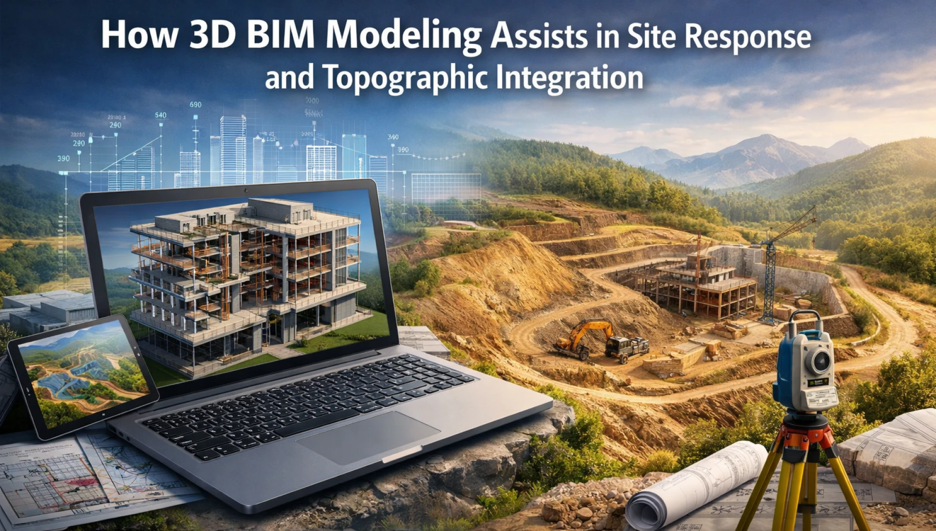
One of the common reasons construction projects experience budget overruns and delays is a poor understanding of the site. Where traditional teams heavily relied on fragmented survey reports and 2D contour maps for site interpretation, it was challenging to anticipate structural adjustments, water blow behavior, or grading impacts. To bridge the gap between physical terrain and design intent, 3D building information modeling (BIM) emerged as a means to deliver real value. Opting for architectural BIM services ensures real-time and precise coordination between the proposed structure and existing site conditions.
Here's how 3D BIM modeling assists in site response and topographic integration.
Enhanced site response and design
Topographic integration is the process of combining, aligning, and analyzing diverse spatial data, including land surveys, 3D objects, and elevation models. These create a contextually rich, accurate, and unified presentation of the landscape.
By modeling the topography early, architects and engineers can analyze the spatial data to fit the natural landscape. Moreover, 3D models by the architectural 3D modeling services enable the analysis of slopes, drainage, flow patterns, etc. This allows for the precise design of retaining walls, grading, drainage systems, and related features that help prevent future flooding and erosion.
Accurate topographic visualization and representation
BIM tools generate 3D surfaces called Toposolid or Toposurface that precisely match the terrain's actual elevation and slopes rather than relying on 2D contour lines.
The scan-to-BIM services by the BIM Company in USA allow architects to capture millions of data points to generate high-accuracy point clouds. This ensures that the virtual model mirrors the real world or uneven terrain. It enables the visualization of existing structures, utilities, and surroundings, helping planners understand the site's opportunities and constraints in 3D.
Improved coordination and conflict resolution
One of the most disruptive and expensive challenges in construction is discovering site conflicts too late. Clashes between underground utilities and proposed building foundations, misaligned drainage systems, and other issues can cause costly on-site rework. The 3D model ensures that site elements, such as driveways and sidewalks, are accurately coordinated with the building's entrance levels. Additionally, the common data environment enables all teams to collaborate and ensures that any changes to site topography are reflected in real time.
Conclusion
Even the most carefully planned project can be derailed by an undetected side conflict. However, 3D BIM modeling enables smarter site response and early clash detection, resulting in improved collaboration, reduced rework, and more efficient paths from design to construction. The 3D BIM services provided by BIMPRO LLC improve the overall quality, cost-effectiveness, and sustainability of infrastructure projects.