Navigating the open seas requires more than instinct or GPS. For centuries, sailors have relied on nautical navigation charts to safely plan and execute voyages across oceans, harbors, and coastlines. Today, technology has made these vital tools more accessible than ever, with comprehensive nautical charts online available to mariners, students, and explorers alike.
In this guide, we’ll explore what these charts are, why they’re essential, and how to use them effectively for safe and confident navigation.
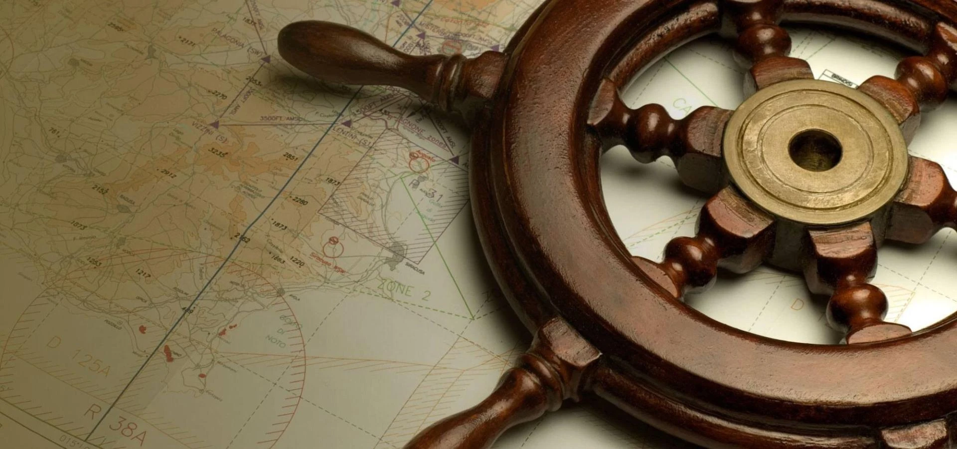
What Are Nautical Navigation Charts?
Nautical navigation charts are specialized maps designed for marine travel. They provide detailed information about water depths, coastlines, hazards, currents, tides, and navigation aids. Unlike standard maps, nautical charts are scaled to give accurate measurements crucial for plotting a safe route.
These charts are produced by authorized hydrographic offices and updated regularly to reflect changes in maritime conditions, ensuring sailors have the most current data available.
Key Features of Nautical Charts:
- Depth contours and soundings to show underwater terrain
- Buoys, beacons, and lighthouses for visual navigation aids
- Tidal and current information to predict water movement
- Compass roses and scales for orientation and distance measurement
- Symbols for obstructions, wrecks, and rocks for safe route planning
Whether sailing nearshore or across international waters, a mariner must understand these details to make sound navigation decisions.
Why Nautical Navigation Charts Are Essential for Mariners
Every mariner—whether a professional navigator or recreational sailor—depends on nautical navigation charts for safety and precision. These charts are more than just paper maps; they’re a legal and operational necessity in many cases.
Reasons These Charts Are Vital:
Safety at Sea – They identify hazards like reefs and shoals that GPS alone may not highlight.
Legal Compliance – Many countries require certified charts onboard for inspection and voyage planning.
Accuracy – Charts provide verified data, unlike some digital maps that may lack critical updates.
Backup Navigation – In case of electronic failure, paper charts remain reliable.
Training and Education – Essential for maritime students learning traditional and electronic navigation techniques.
Sailors often carry both paper and electronic versions for redundancy and ease of use.
Accessing Reliable Nautical Charts Online
With digital innovation, sailors no longer need to rely solely on physical copies. Today, you can easily find accurate and updated nautical charts online from trusted marine chart providers.
Benefits of Using Digital Nautical Charts:
Instant Updates: Digital charts can be refreshed to include recent notices to mariners.
Convenience: Download and view charts from any device, whether offshore or in port.
Interactive Tools: Zoom, plot courses, and overlay GPS data directly on your chart.
Global Coverage: Access to charts covering local harbors and international shipping routes.
Online charts combine traditional precision with modern convenience, helping both professional and recreational mariners navigate with confidence.
How to Read and Use Nautical Navigation Charts
Understanding how to interpret nautical navigation charts is key to safe sailing. Every symbol, color, and line on a chart conveys specific information.
Step-by-Step Guide:
Identify Your Position – Locate your vessel on the chart using coordinates or landmarks.
Plot Your Course – Draw your intended route, accounting for hazards and depth changes.
Measure Distance – Use the chart’s scale to calculate distances between waypoints.
Check Depths and Tides – Ensure your vessel can safely navigate in all tidal conditions.
Monitor Bearings – Use compass roses and headings to stay on course.
Update Regularly – Always confirm that your chart includes the latest corrections.
By mastering these skills, mariners can plan efficient and secure routes under any conditions.
Types of Nautical Charts and Their Uses
Different voyages require different types of charts. Knowing which one to use ensures both safety and efficiency.
Main Types:
General Charts: Cover large ocean areas, ideal for long voyages.
Coastal Charts: Focus on areas near shorelines for coastal navigation.
Harbor Charts: Offer detailed views of ports, marinas, and approaches.
Sailing Charts: Provide information for planning longer routes.
Electronic Navigational Charts (ENCs): Digital equivalents used in modern marine systems.
Many sailors use a mix of paper and electronic versions to balance tradition and technology.
Choosing the Right Nautical Charts for Your Voyage
When selecting charts, consider where and how you’ll be sailing. Accurate coverage ensures you have the right level of detail for your route.
Factors to Consider:
Chart Scale: Large-scale charts show smaller areas in greater detail.
Region Coverage: Ensure the chart includes all planned waypoints and backup harbors.
Update Frequency: Choose sources that regularly revise their charts.
Format: Decide between paper or digital versions depending on onboard equipment.
The best place to find high-quality charts for any destination is through reputable sources offering nautical navigation charts with global coverage and guaranteed accuracy.
Maintaining and Updating Nautical Charts
A chart is only as reliable as its latest update. Ocean conditions, dredging, and new construction can change navigational details frequently.
How to Keep Charts Current:
- Subscribe to official Notices to Mariners.
- Regularly replace outdated paper charts.
- Update digital charts before every voyage.
- Cross-check with local authorities and port notices.
Staying updated ensures compliance and safety, preventing navigation errors caused by obsolete data.
Tips for Navigating with Digital Nautical Charts
Using nautical charts online doesn’t replace good seamanship—it enhances it. Combining traditional skills with digital tools offers the best of both worlds.
Practical Tips:
- Always carry paper backups.
- Familiarize yourself with the software interface before departure.
- Use GPS overlays to confirm your real-time location.
- Sync your digital charts with official updates.
- Save offline copies for offshore use without internet access.
Proper use of digital charts can significantly improve accuracy and reduce workload during navigation.
The Future of Nautical Navigation Charts
While traditional charts remain vital, technology continues to evolve. The integration of AI-assisted route planning, real-time satellite updates, and augmented reality overlays is making marine navigation smarter and safer. Yet, the core principles of chart reading and situational awareness remain the same.
Seafarers who blend traditional navigation with digital tools have the greatest advantage—ensuring safety, compliance, and confidence at sea.
Frequently Asked Questions
How often should nautical navigation charts be updated?
Most charts should be updated whenever new Notices to Mariners are released, typically every few months, or before every major voyage.
Are paper nautical charts still required on vessels?
Yes. Many maritime authorities require at least one set of current paper charts onboard as a legal backup to electronic systems.
What is the difference between electronic and paper nautical charts?
Electronic charts are digital and interactive, while paper charts are static. Both contain the same core data but differ in format and usability.
Can I use nautical charts for recreational boating?
Absolutely. Recreational sailors, anglers, and yachters use these charts to plan safe coastal or offshore trips.
Where can I buy reliable nautical charts online?
You can find updated and official charts from trusted maritime suppliers that specialize in nautical charts online.
What scale of nautical chart should I use for coastal sailing?
For coastal navigation, medium-scale charts (1:50,000 to 1:150,000) offer the ideal balance between detail and coverage.