The Importance of Using Drones in Aerial Surveying
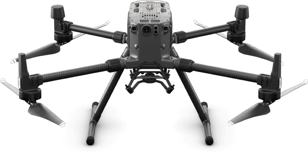
Drones have built-in and attachable cameras and sensors. Certain worldwide drone manufacturers keep some of their drone models on hand to support sensor makers who create sensors and payloads for these drones’ many industrial uses.
Sensors such as LiDAR payloads or RGB cameras can be employed for this purpose; to meet the expanding needs of surveyors, these drones are frequently controlled using a Smart Remote Controller to control the drone as well as record and capture photos.
If a drone has an RGB camera, it must record photographs of the land from various perspectives, and each image is saved with its own geolocation.
After processing the raw photos, you can use Aerial Photogrammetry Software to build geo-referenced ortho projections, Point Cloud, 3D Models, Contour Maps, and DTM of the surveyed area.
With today’s drone industry and fast software operations, you may be confident that data collected by drones will be more exact than data collected by traditional means.
In comparison to previous years, data acquired by drone photos is obtained with less site time, lower overheads, nearly no repeat jobs, best site safety, and higher human intellect and abilities.
Drones in Aerial Surveying: How Do They Work?
There are various methods for doing an aerial survey, but drones are more efficient for the following reasons:
- Drones save both time and financial costs:
Due to difficult landforms and weather circumstances, such as high mountains, vast rivers, or weather conditions with continual rains, very hot and dry climates, and strong winds, gathering topographic information can be time-consuming. All of these variables will result in an increasing surveying cost. Drones are significantly more inexpensive, reliable, and accurate, with higher resolution, than crewed aircraft or satellite photography for aerial surveys. It also lessens the effort of on-the-ground surveyors.
- Drone data is typically very accurate and highly comprehensive:
Hundreds of photos can be acquired in a single drone survey operation. They can be processed and projected in a variety of formats, including orthomosaic, point cloud, DSM, and contour lines.
- Drones relieve surveyors of the stress of climbing into dangerous site locations:
As a result, safety incidents and site hazards are reduced. When using drones for surveys on-site, all surveyors need is a location within the Remote Controller’s transmission range along the region of interest. In reality, doing an aerial survey with drones requires less intensive planning and site logistics than other methods.
- Drones facilitate volumetric investigation of construction materials and sites:
Drones make it easier to calculate the volume of stockpiles, extraction pits, and spoil heaps. Drone mapping makes it simple to create a digital survey model (DSM) of the area. A volumetric examination performed using ground-based methods, on the other hand, may be less accurate, laborious, risky, and time-consuming.
Industries Using Drones for Aerial Surveying
Drones are being used for aerial surveys in a variety of businesses. Among these industries are:
Agricultural Sector
Drones are used in the agriculture industry to map out landforms, which provides agricultural experts and trained farmers with enough knowledge about the likelihood of a bountiful harvest of a specific crop in a specific location.
Drones can be used to collect data on slopes, accessible plant minerals in the soil, the distance between the water table and the soil surface, and the ratio of rocks to sand in the soil.
Drones survey can also be used for farm scouting, which includes crop performance evaluation. Crop stress due to insufficient soil water, plant growth rate, crop emergence, and other performance indicators might be seen.
Drone mapping can also help with irrigation and drainage planning and monitoring. Large ranches also use drones to monitor cattle, which would be difficult and time-consuming to watch on the ground.
This information assists decision making and increases agricultural enterprise output.
Sector of Real Estate
Drones aid investors and property owners in determining the boundaries of their holdings. This makes renting, buying, and selling real estate easier and faster, while also providing an actual commercial value.
Drones can also help gather information regarding the placement of properties in a specific setting, which can aid in town planning. In today’s world, there is also a growing trend of employing drone video footage to show potential buyers the homes in which they may be interested.
As a result, rather than driving to a site to check a property, entire drone recordings encompassing all perspectives and portions of the property are sometimes attached to listings or given on request.
Industry of Construction
The benefits of drone survey company are not new to the building business. It can be used to conduct site inspections, which can be dangerous to inspectors.
Drone operations can be captured on video or photographed and studied from the comfort of the site’s cabin. Drones can be used to inspect the condition of fragile structures such as unfinished bridges or residences.
Industry of Mining
Drones are used in the mining industry to offer clear and precise quarry site conditions.
Drone photos can be used to create a three-dimensional data model of a mining site. Because of the high density of the point cloud, a more accurate volumetric analysis of quarry material can be performed if point cloud data is collected. Miners can utilize drones to monitor on-site operations and prepare ahead of time because drones provide information on how much mineral remains in the earth.
Industry of Security
Drones have lowered the cost of human resources in the security industry, increasing efficiency and profit. Drones are used for facility perimeter patrolling, anti-poaching surveillance, remote area inspection, traffic monitoring, and other purposes.
Drones can check or monitor locations that would be dangerous or inaccessible to humans. Recently manufactured drones are outfitted with Forward-Looking Infrared (FLIR) night vision imaging sensors, allowing for improved perimeter monitoring in the dark without drawing attention to themselves.
Maritime Business
The maritime industry is not immune to this. Ship management teams are occasionally required to investigate inaccessible areas of a ship, such as ballast pits and tanks.
While the use of drones on the high seas is still subject to laws, they come in handy during ship survey activities. Drones are used by some operators to deliver small cargoes between vessels or within the vessel.
Other industries that have successfully used drones include the military, which recently acquired F-35s from the United States in order to present a stronger military presence in the airspace.
Conclusion
Drones are one of those toys for leisure or less productive tasks for many people. However, commercial drone uses in most industries have resulted in unprecedented levels of cost efficiency and better human resource management.
Experts believe that drones will be used in more areas in the future, such as aerial drone mapping, and that any legislative barriers preventing their usage in some businesses, such as the marine industry, will be overcome.
This may take some time, but for the time being, drones are the go-to airborne surveying and monitoring tool. Consider harnessing the benefits of drones for your business.
Contact Falcon Survey today for more information about aerial surveying.
0